|
 |
HISTORICAL MAPS
For a more up-to-date map of the village, click here. For several sets of aerial photos taken at various times, click here.
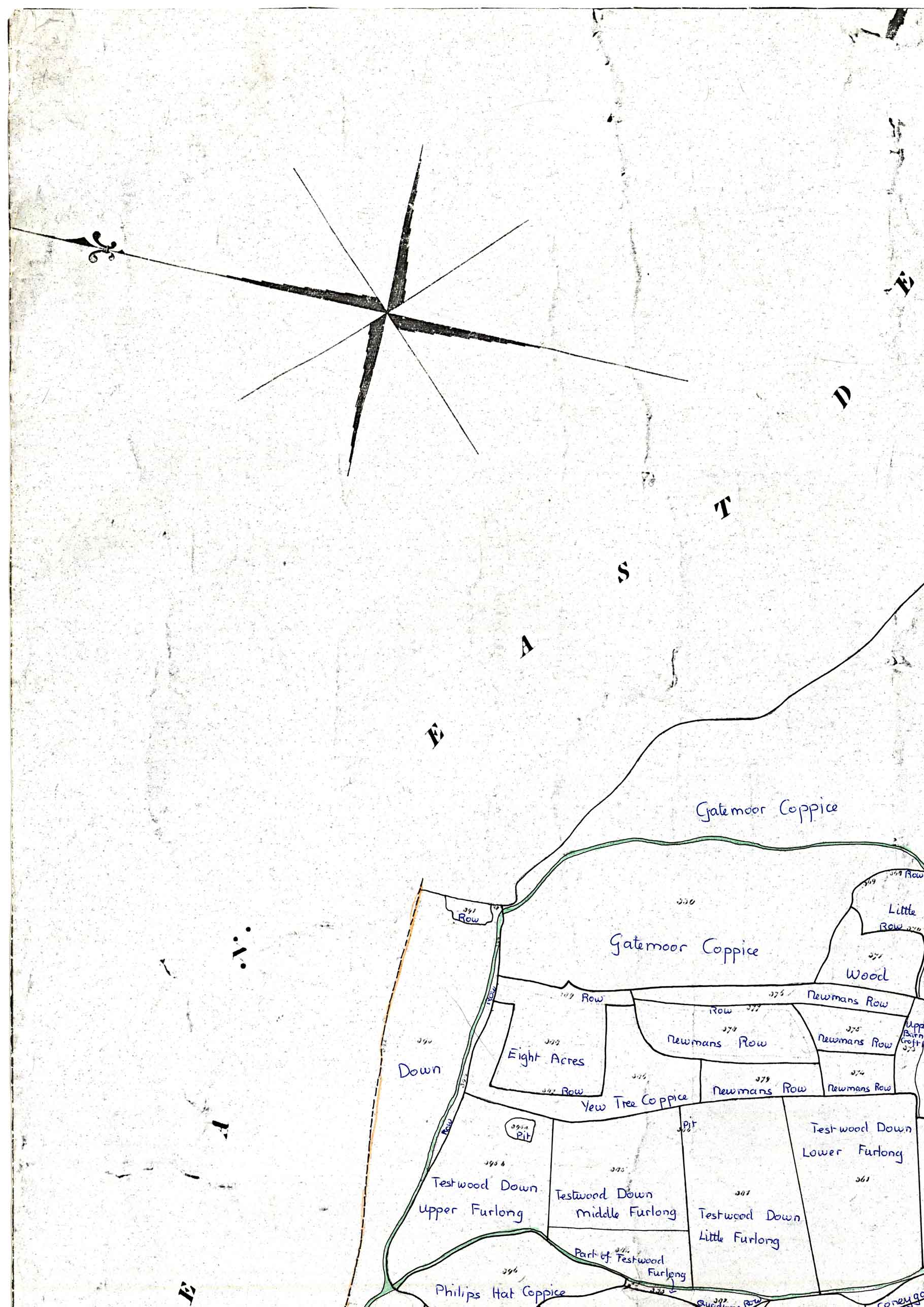
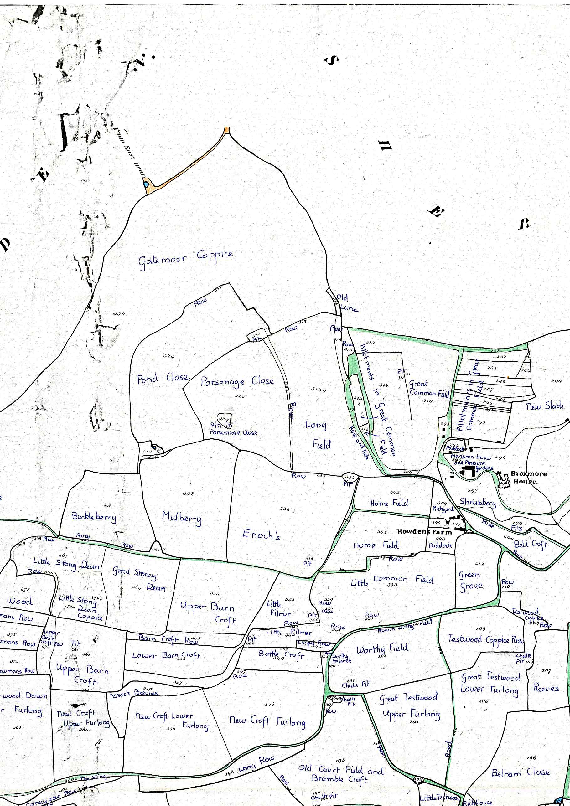
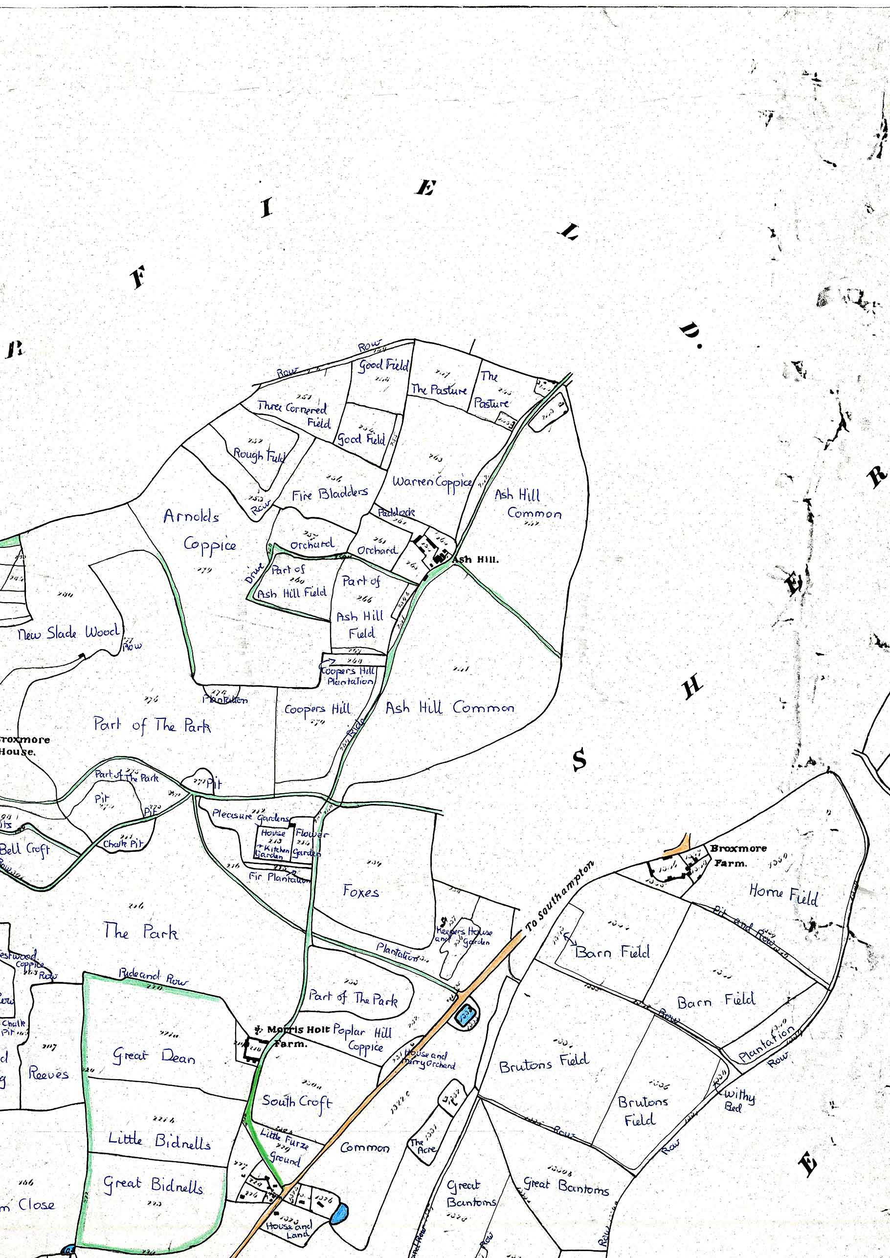
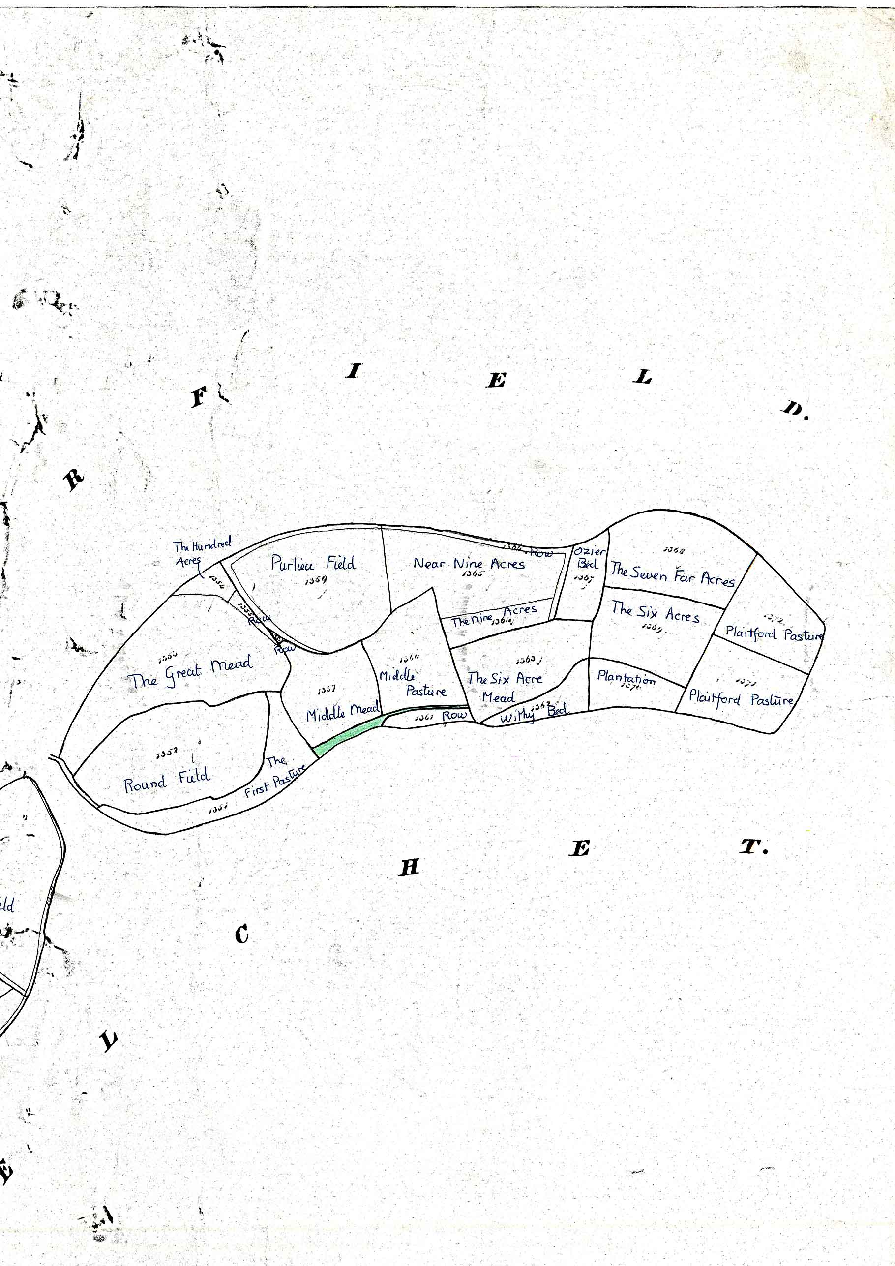
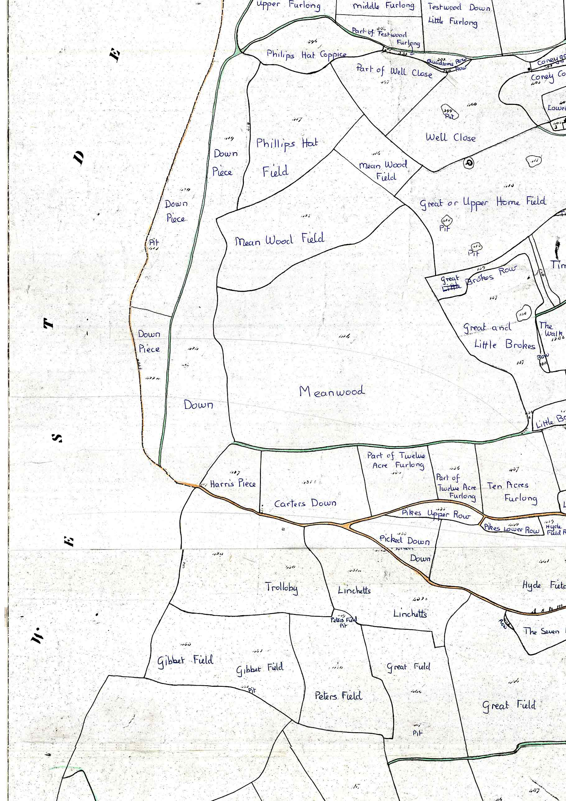
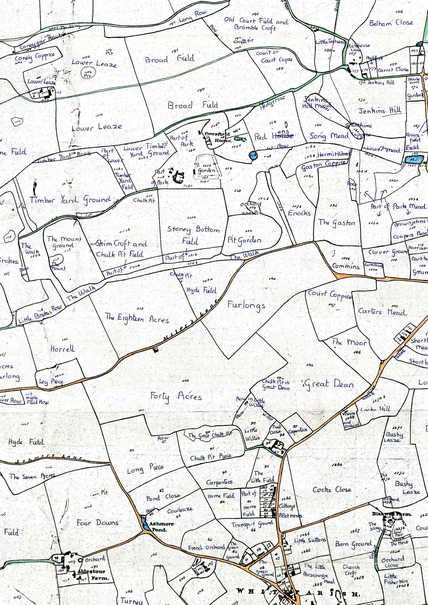
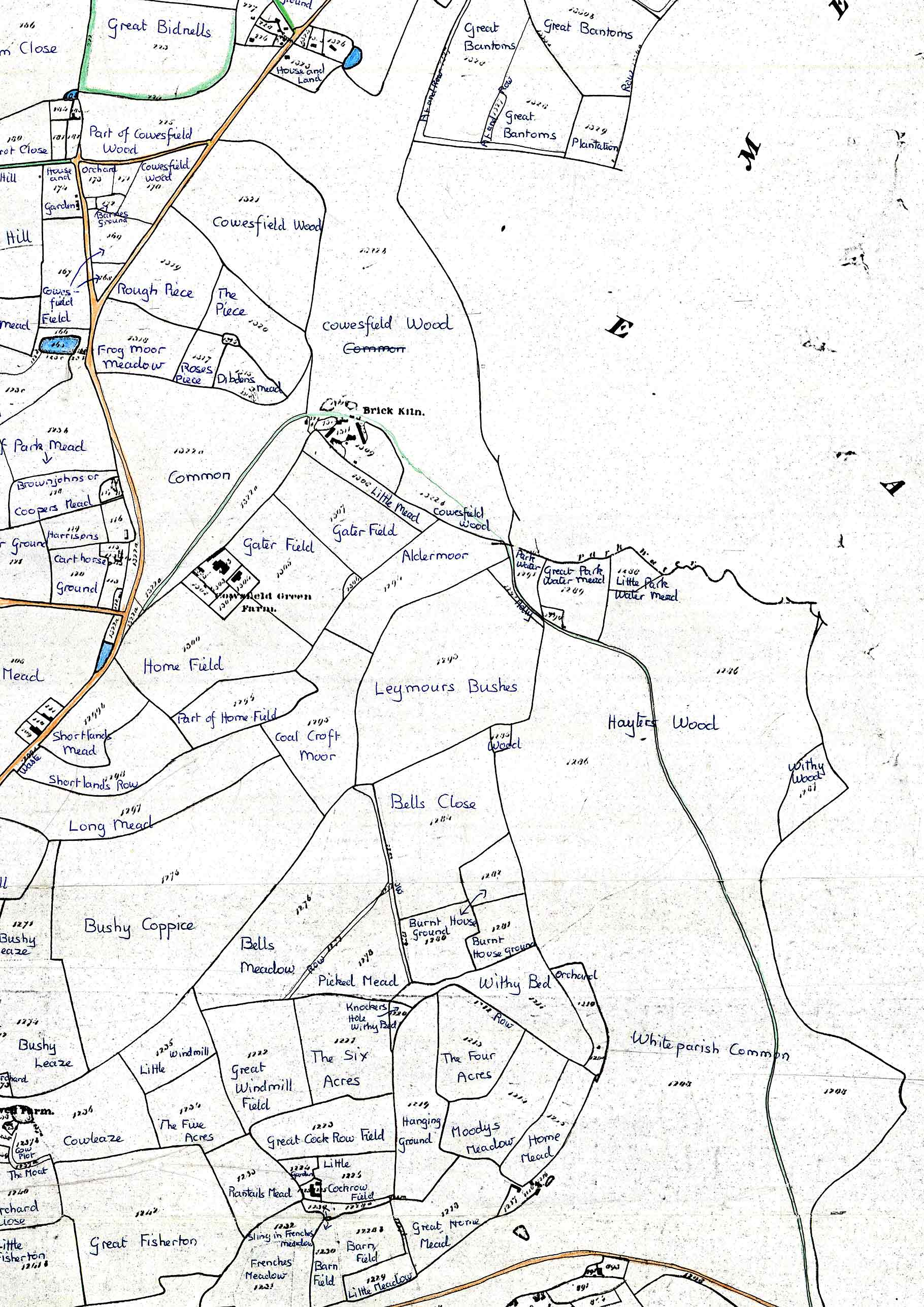
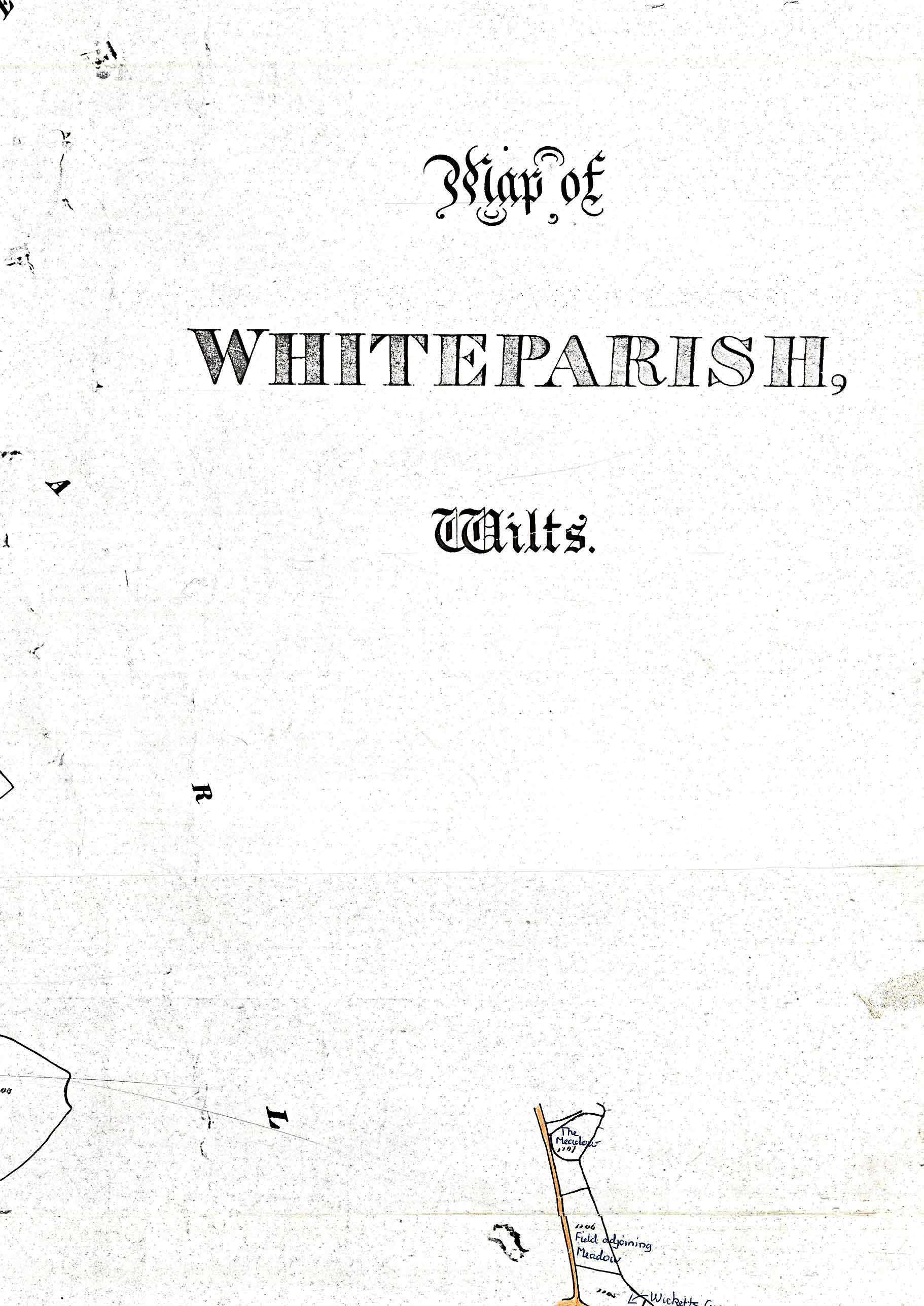
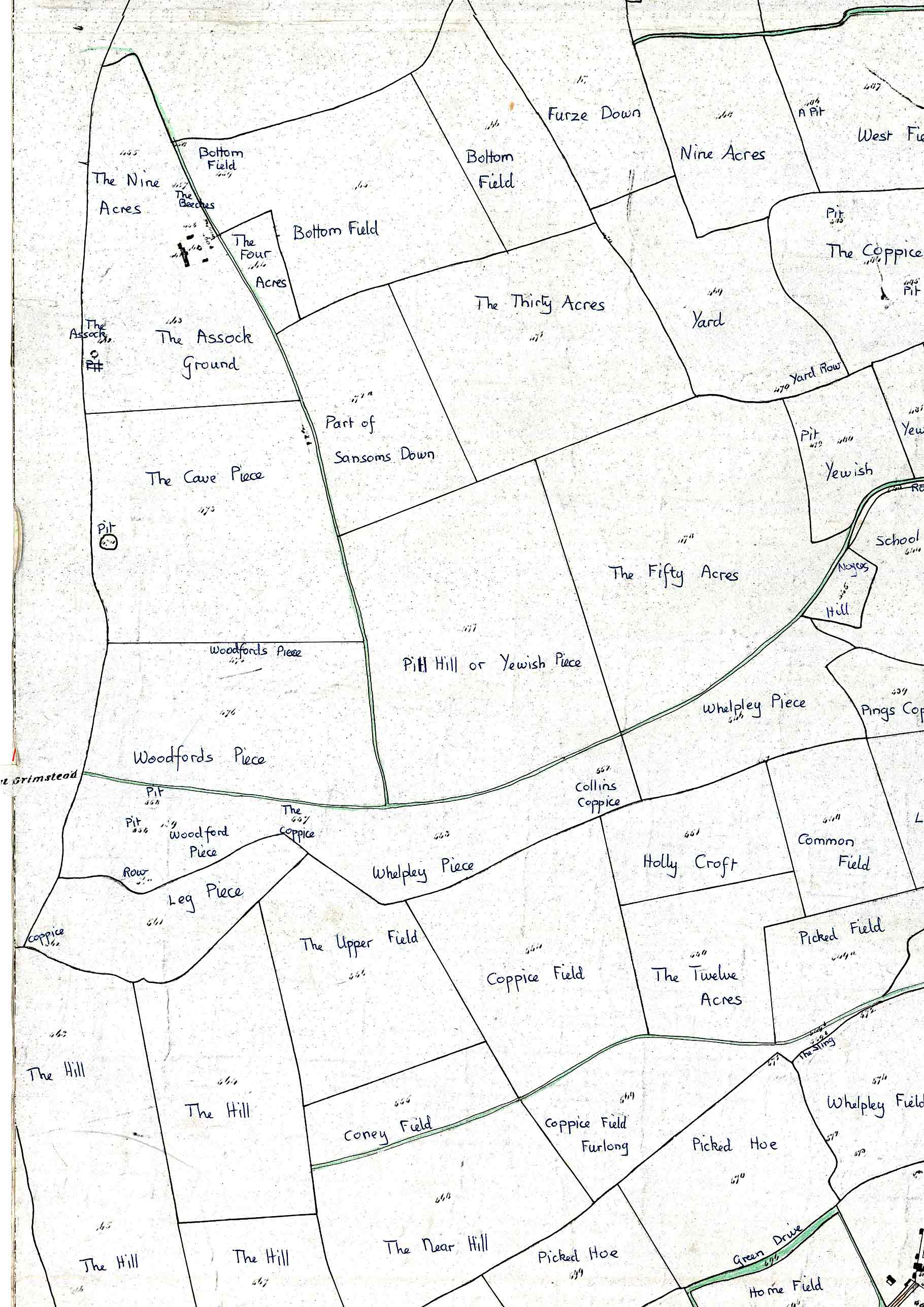
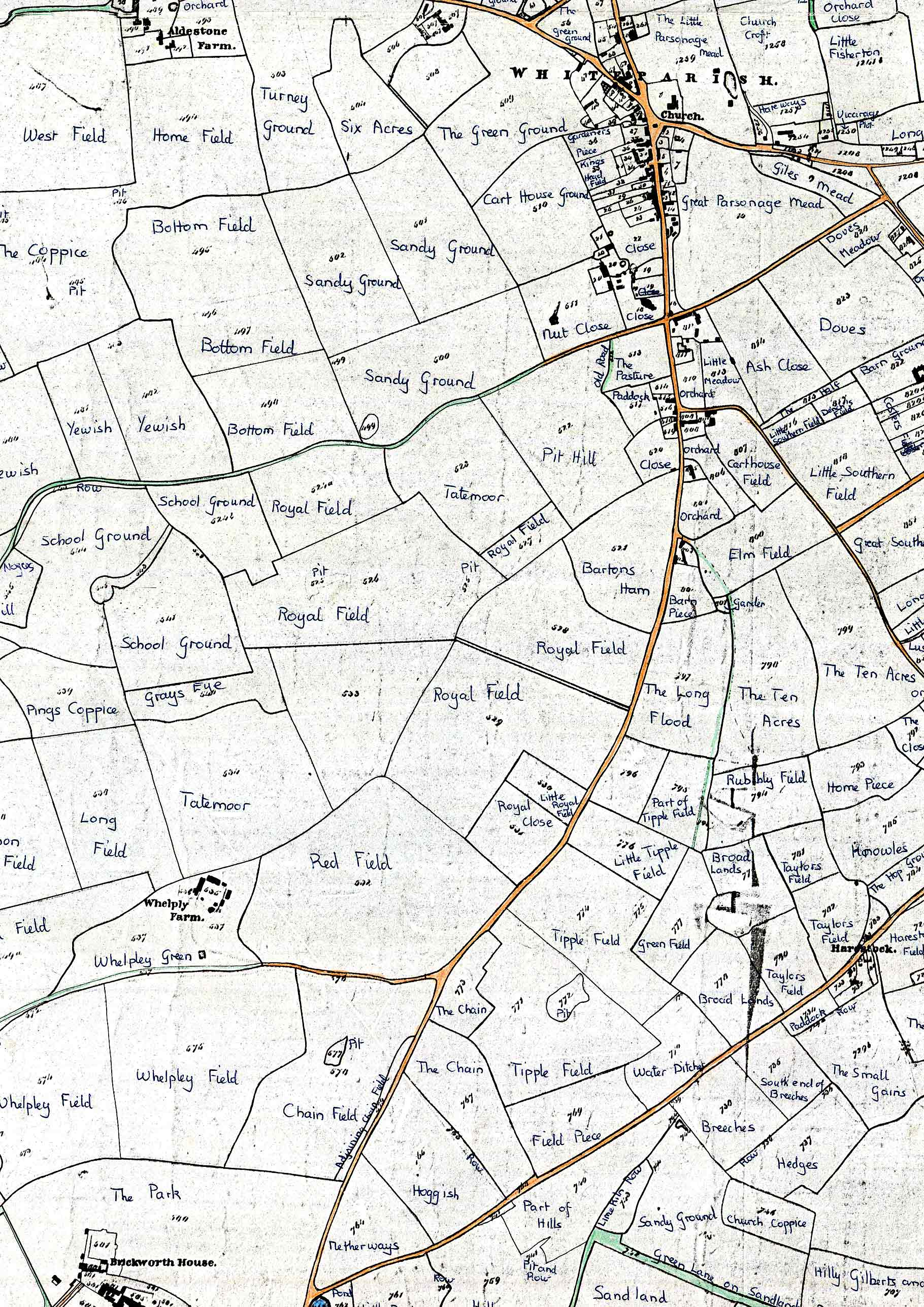
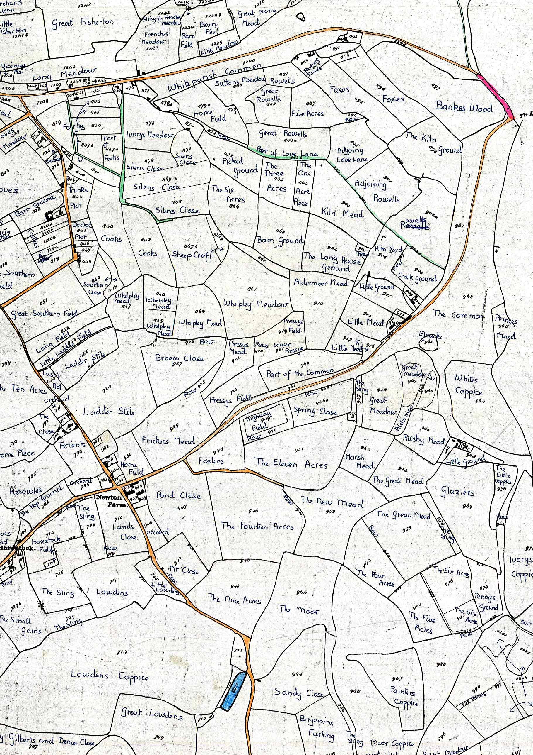
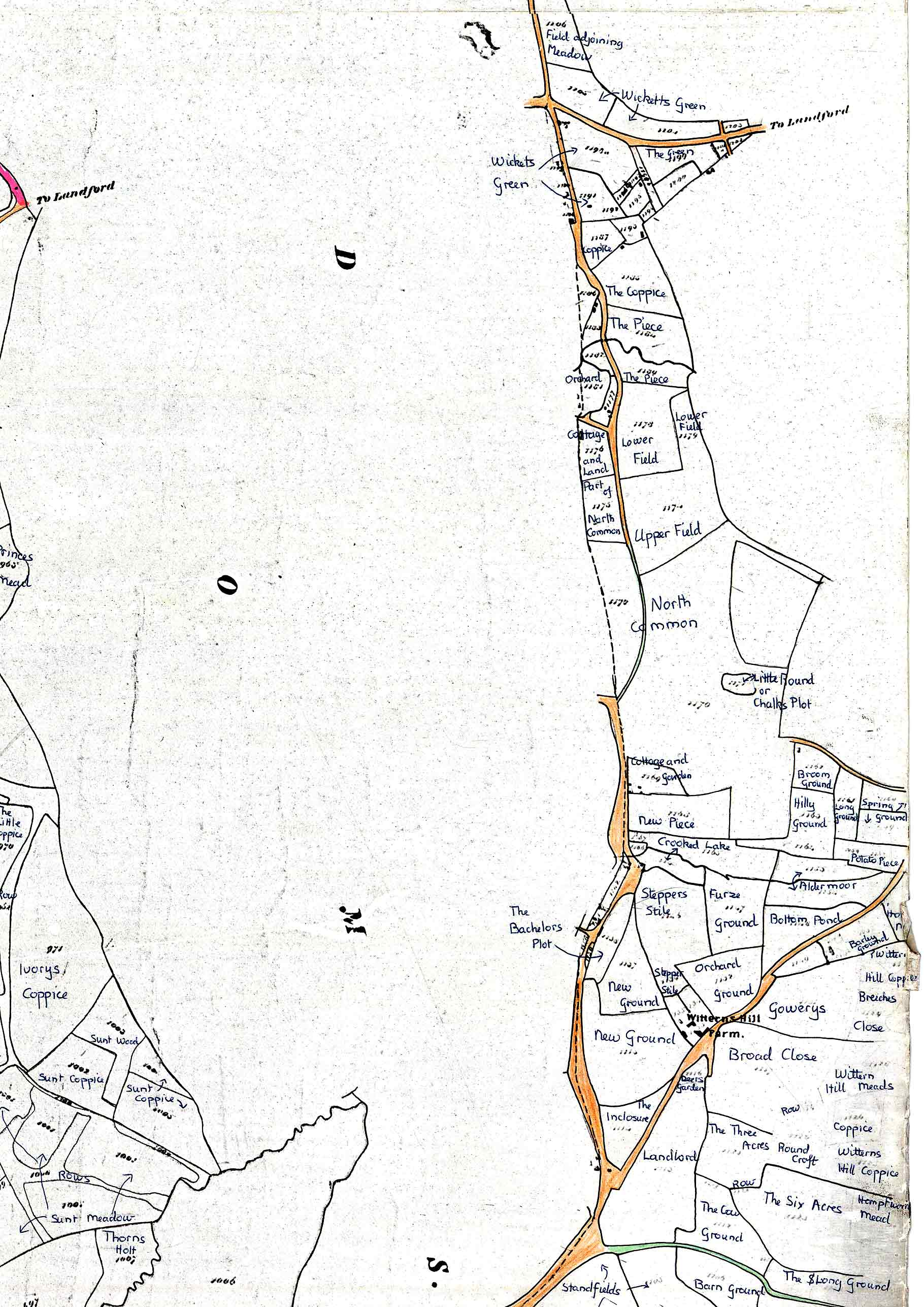
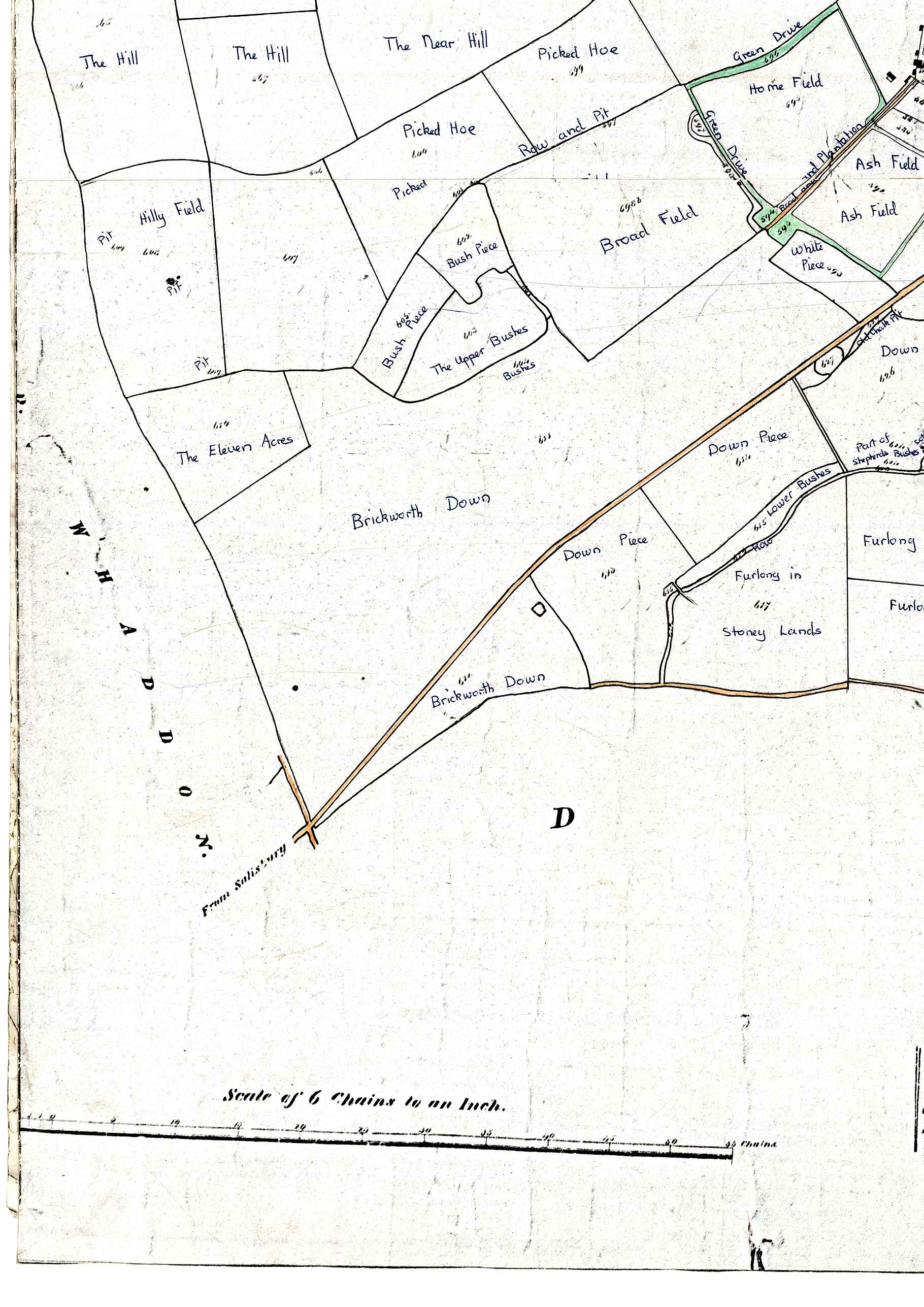
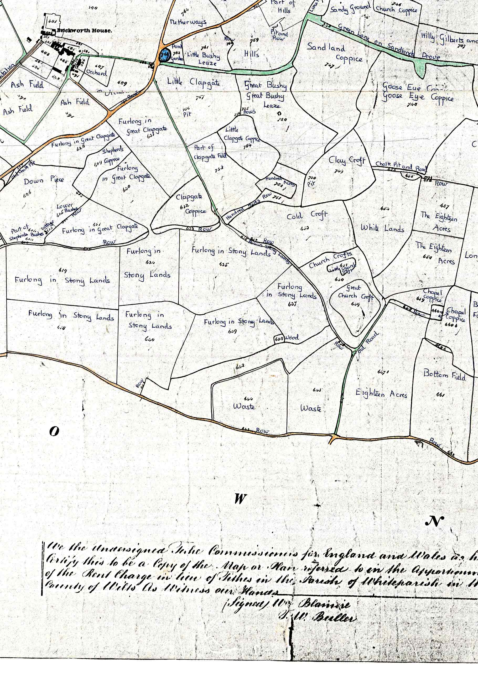
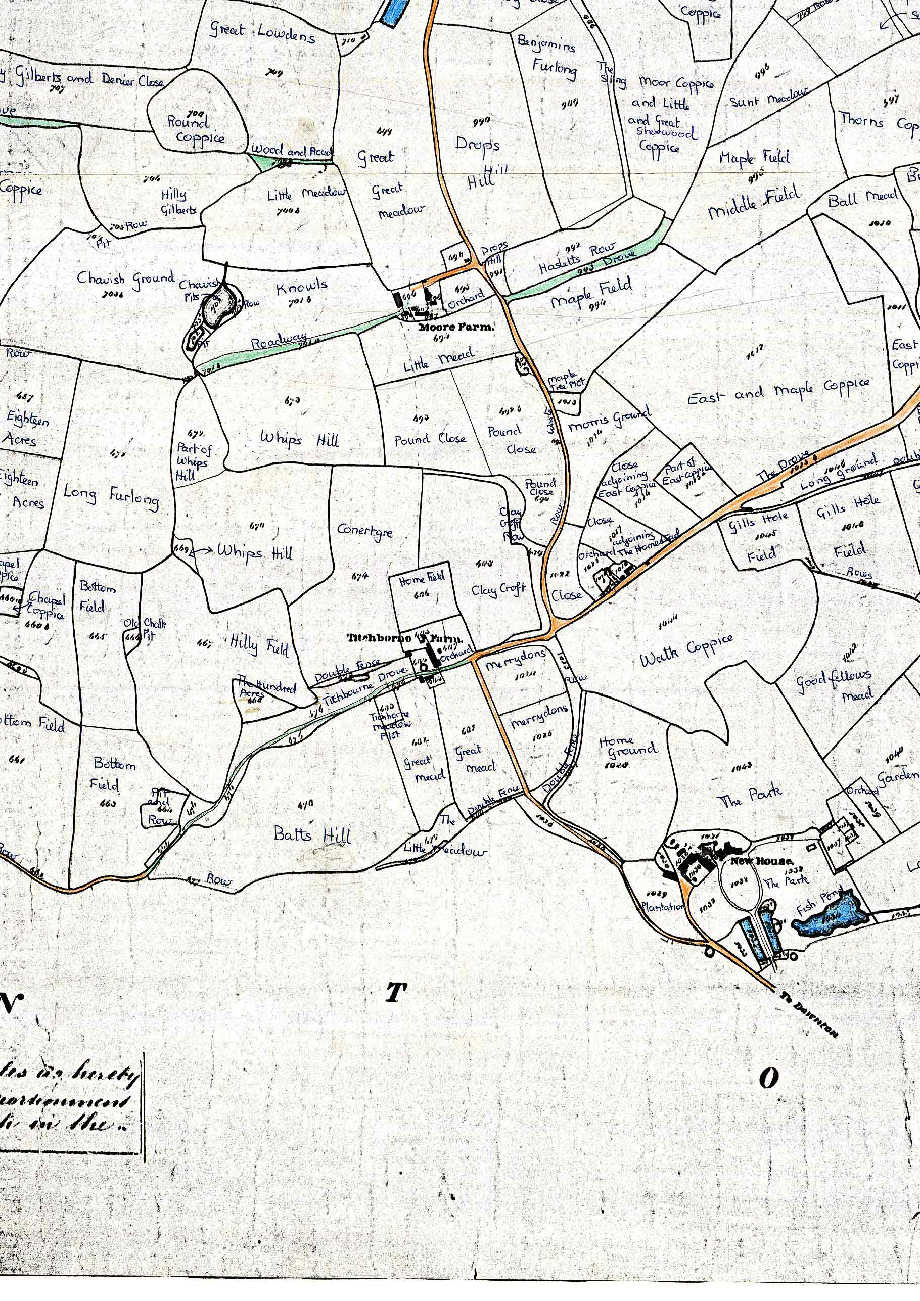
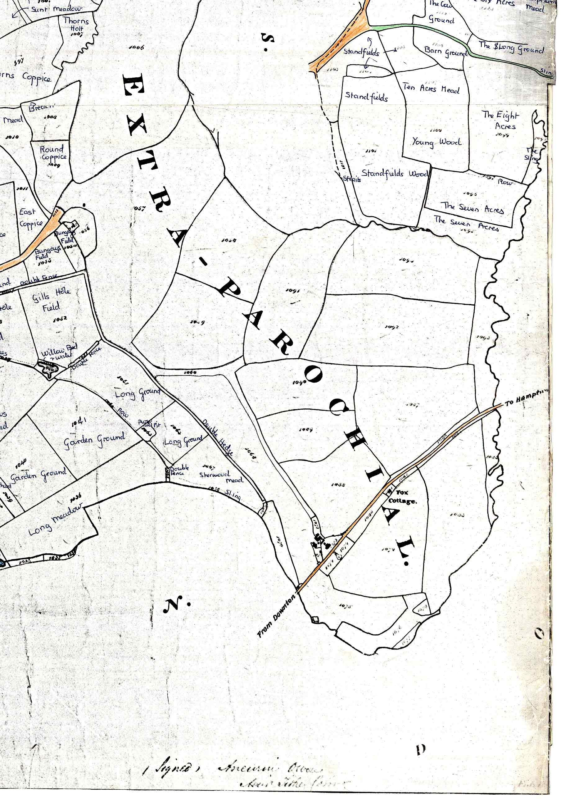
Parish Tithe Map, 1842
We are indebted to Eric Chase of the History Group for loaning us a copy of the map, and for providing some background information.
Although the tithe map is not the oldest map on this web page, it still gets pride of place because it harks back to much earlier traditions, and because it's just such a fascinating historical record. It shows all the landholdings within the parish, with a reference number for each one. (To find out more about who owned the land, who occupied it, who had the most land, etc, click here.)
The computer file containing the whole map is so enormous that it would be impractical to provide it on the website. Instead we have divided it into 16 separate jpg files, each of which you can download by clicking on the relevant section of the grid below. After downloading, you should be able to print a section by specifying "shrink to fit paper" or similar in the print options. Printing onto A4 allows you to see good detail. Depending on your printer, there may or may not be a white margin. If you want to put several sections of the map together, print them individually, using the same print settings for each section, and use scissors and tape. The sections are all the same size and in the same proportions, and they all include overlapping margins indicated by the pink borders on the grid.
Notes:
- The map is not in the usual "north upwards" orientation—it's more like "north leftwards". To help you get your bearings, the junction between The Street and Common Road is at the top right of section R3C2.
- Some of the landholding reference numbers are not very clear on the downloadable sections (but they're not very clear on the original file either).
- The sections may take a while to download, particularly if you're using a dialup internet connection.
 |
 |
 |
 |
 |
 |
 |
 |
 |
 |
 |
 |
 |
 |
 |
 |
(Part of) Andrews' and Dury's Map of Wiltshire, 1773
The following is our village from the county-wide map(s) produced by 18th-century mapmakers Andrews and Dury. Their "Map of Wiltshire" seems to have been their best-known publication (to judge from a google search, anyway).
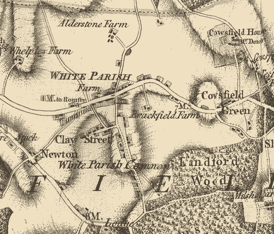
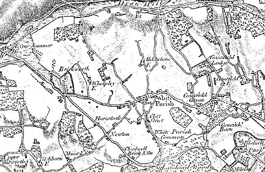
(Part of) Ordnance Survey Map, 1811
This map from nearly 200 years ago shows a road system surprisingly similar to today's. Back then, the "Pepperbox" folly was apparently known as "Eyre's Summer House", after the 17th-century landowner who originally had it built.
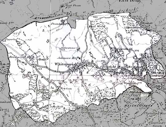
(Part of) Ordnance Survey Map, 1896
Finally, here is a detail from the Ordnance Survey 1896 revision of their one-inch-to-one-mile map. The modern civil parish boundary has been superimposed.